| A bit about me. | ||||||||||||||
|
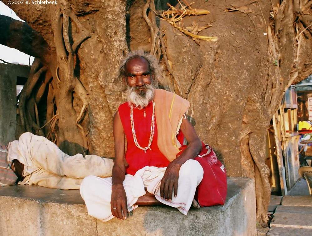
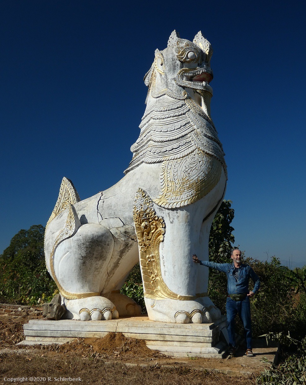
Last update: The Adventure.Let me introduce myself, my name is Rolf Schierbeek, a Dutch citizen with a love for travel. I suppose I am a seasoned, spiced, and curried traveller; having visited many Japanese gardens, absorbed Asian culture, and explored historic temple cities. My favourite transport methods are the bicycle, walking and motorbiking; I have had great fun bicycling around old cities like Mandalay, Chiang Mai, and Angkor. I am interested in colonial history and have spent a considerable time in India; and I have also been to Japan, Thailand, Myanmar, Cambodia, and a few other western countries. For example the reliefs in the temples of Angkor Wat makes one aware of the Buddhist and Hindu origin. Chiang Mai is famous for its many temples. And so on.
I am always happy to go off the beaten path, for example Angkor Thom is wonderful to explore on a mountain bike. Many paths exist in the jungle, some are well trodden, many are well hidden to the public. There are for example a few lakes in Angkor Thom that are visible on Google Earth, but quite hard to find in the dense jungle that covers most of the Angkor Thom citadel.
Butterfly pond, which is the name I gave it, is just a 15 minute walk from the tourist road, but the entrance to the forest path has been expertly hidden, since the locals who know this stunning little lake do not want any other people having a picknick on the large grassy field. It is a little hidden paradise for the hundreds of butterflies who gorge themselves on the many flowers, and for some waterfowl which are scared off by your sudden appearance in this tranquil spot.
Daun Mea lake, (also: Daun Mear, Don Mea) is the shallow large lake to the west of the Royal palace complex in Angkor Thom. It is surprisingly difficult to reach; as there are no roads there. One has to walk down small paths, up and down strange dirt walls lined with remains of stone fortifications, looking for spider webs and snakes on the path, and then suddenly, there appears a huge rectangular area in the dense jungle. A peaceful, serene lake, surrounded by the quiet old trees of the Angkor jungle. Only bees and butterflies are dancing over the swampy lake, and some white water-birds feed in the distance.
Beng Thom, a reservoir in the SW corner of Angkor Thom, was used to collect the wastewater of the ancient citadel. As there were probably tens of thousand inhabitants of the city, the wastewater was collected here and then dumped into the moat through these three outlets. This system is still functioning, though only for rain water, and not for human waste water anymore, and the outlets are still visible. The last few years the water and groundwater level around Angkor park has risen, and these three outlets have become almost totally submerged. Lateral Adventures.There are countless hidden gems off the beaten path. Take, for instance, Arbor Low in the Peak District, a remarkable prehistoric stone circle that contrasts with the more famous Stonehenge. Unlike the meticulously restored stones at Stonehenge, Arbor Low's massive stones lie flat on the ground, preserving an authentic and untouched ancient aura. The Castlerigg Stone Circle on a hill in the Lake District is situated amidst stunning mountain views. Discovering these off-the-beaten-path wonders may require extensive research, because they're not on the standard tourist routes. For example, in Angkor Park the quiet jungle temple of Preah Khan is a tranquil alternative to the bustling Ta Prohm temple. The busy Ta Prohm temple in Angkor has become popular because of the movie "Tomb Raider". It is relatively small and always crowded, so why not visit Preah Khan instead, which is much quieter, with many birds and trees, and much larger than Ta Prohm. It has a proper moat, unlike Ta Prohm, and the same kind of trees growing over the old crumbling temple walls. And if you walk all the way to the eastern side, you can have a view over the large Baray or lake, the Jayatataka Baray. This lake was dry for centuries, but has been reflooded in 2012. What more can I say. Some off-beat highlights are difficult to find, and some need a thorough reading of the guidebooks, or a lot of research. Most people don't have the time for it and choose to do the easy, standard route; but doing the research can be worth it. And isn't half of the fun of a holiday in the planning?
Discovering Myanmar.Discovering Burma is a bit like walking into the Shire - entering a long-lost mythical area in middle-earth. I first visited Myanmar in 2009; and and I was suddenly transported back 60 years. All busses were small trucks of the second world war era; patched up, fitted with new engines, and still running. There was internet, but it was very slow. Mobile phones were there, but smartphones did not exist. In 2009 Myanmar was one of the most fascinating countries I ever saw, as most people who travel there can imagine. It was my impression that the international boycott had made Myanmar a very poor country, where ordinary people suffered, but the elite rulers prospered. I created the Myanmar website in 2010 because of a few reasons - the myths and misunderstandings being the most important ones. Misinformation about which currency to take (euro or dollars), how to travel, and how to arrange it, etcetera. At first I was annoyed by the "Go now, before it is too late" encouragement in many blogs. The Asian Development Bank (ADB) has made an official warning that it could be 30 years before Myanmar achieves the level of development of its neighbour Thailand; and in those 30 years Thailand will have moved ahead and will probably have high speed trains and whatnot. So it is not too late to visit Myanmar. Whenever I made a border crossing into Myanmar, vivid memories of India came back to me. The colors, the smells, the houses, the people .... I have spent years in India, and Myanmar is a kind of "India Light". Myanmar does not resemble Thailand very much, except perhaps for the new big shopping malls that are lately appearing in some towns. The Burmese men wear Indian longyis, the food is often Indian curry and samosa, the feeling is India. The Burmese longyi or lunghi is a long skirt that most men wrap around them, in India it is only occasionally worn. So Myanmar is much more similar to India than to Thailand. Myanmar is a kind of "India Light", without the throngs and dense population. But Myanmar is not just the friendly Shire with lots of happy people; there are also the armed forces that rule the country from the background. And unfortunately, there are conflicts going on in many border states, like in the Northern Shan state, in Kachin state, and Rakhine state. Myanmar is a country with many different ethnic groups: in the central area the Bamar (the majority), in the east the Shan, in the North the Kachin, the Karen in the South-east and so on. Burma was named after the Bamar population; who live in the central Irrawaddy valley of Myanmar. Looking back at the "Go now, before it is too late" argument; it turned out to be quite true. The opening up of burma turned out to be a short period of time, less than a decade. A worm hole opened, a window into the past, which has now closed again. Myanmar has entered a dark age and uncertain future.
Bicycle trips.If you visit only Yangon, Bagan and Mandalay, you will miss the tribal aspect of Myanmar. Myanmar is a cultural destination. Inle is not just a lake; it is a tribal, cultural area. In 2009 I made my first bicycle trip around Inle lake, which resulted, after a pedal fell off the bike, in a trip back to town on top of a farmers' cart. The next trip was more successful. Back home I crafted the bicycle map of Inle lake, which seems to have caught on because there are at least a dozen copies of it on the internet.
When I returned to Inle in 2011 the bike trip had become popular, and there were many bicycle rentals around town. A few years later the bicycle riders and groups of bicyclists following a tour guide were everywhere. Why is it so popular? Probably because it is easy, the mountain weather is cool, the terrain is mostly flat. Inle lake is quite a good place for a bicycle trip. Bicycling around Inle lake has become really popular; and people from many countries have done it and blogged about it. My bicycle map has been copied many times and I am not very happy about that. Just copying images and even complete pages from other peoples' sites, without even asking, is an infringement of copyright. But the good thing is, the rental shops in Nyaung Shwe make money, tourists stay a day longer and enjoy the countryside, and everyone benefits. What can be more fun and healthier than a good bicycle ride though a wonderful country? It is good and healthy eco-tourism, and both the locals, and your physical condition benefit!
All foto's copyright ©2019 R. Schierbeek, Netherlands. mail: bytelife AT gmail.com
|


